MapStore Training

Table Of Contents

Previous topic

Using the LayerTree plugin

Next topic

Using the BBOXQueryForm Plugin
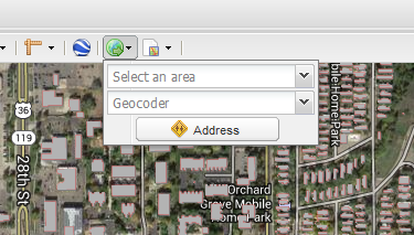
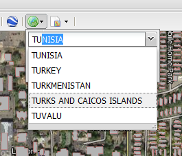
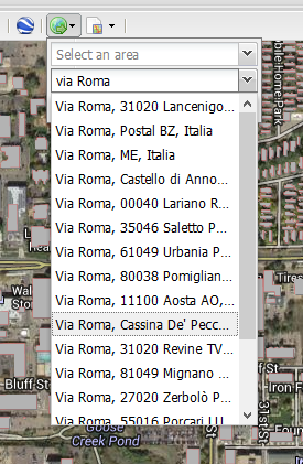
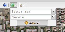
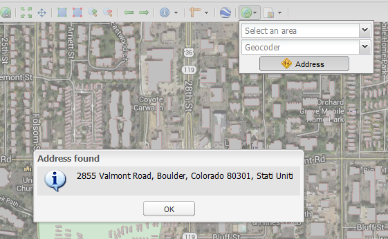
This Page

Using the GeoLocation Menu

The GeoLocation Menu geolocicon provides three different services for map navigation:

  • A list of configurable locations
  • A Geocoder to search for an address location
  • A Reverse Geocoder to get the address from a location
../../_images/geolocating1.png

Jump to a selected location

The first dropdown of the tool holds a static list of locations
Selecting one of them will make the map to center on that location
../../_images/geolocating2.png

Jump to a specific address

The second textbox is the Geocoder, it allows the searching of an address
Selecting an address from the results will make the map to center on that location
../../_images/geolocating3.png

Get the address of a point on the map

The Address button enable a tool to choose a point on the map
After clicking on the map a popup will appear, showing the address of the selected position
../../_images/geolocating4.png

The tool is called Reverse Geocoder

../../_images/geolocating5.png

The address accuracy depends on the background map selected